As cities continue to grow at an exceptional rate—doubling in population by 2050—policy makers, designers and developers face exponentially more complex challenges. Fortunately, such innovations as urban data collection, scenario analysis and 3D visualization allow us to more quickly understand and better design for contemporary cities. KPF Urban Interface leverages new thinking and technology in our professional practice, along with research collaborations with universities and government agencies, in the service of more livable, profitable, equitable and resilient cities.
More About KPFui
Working Across Different Scales
Technology for Responsible City Building

Zoning Analysis

Design Evaluation

Urban Analytics
What We're Doing Now
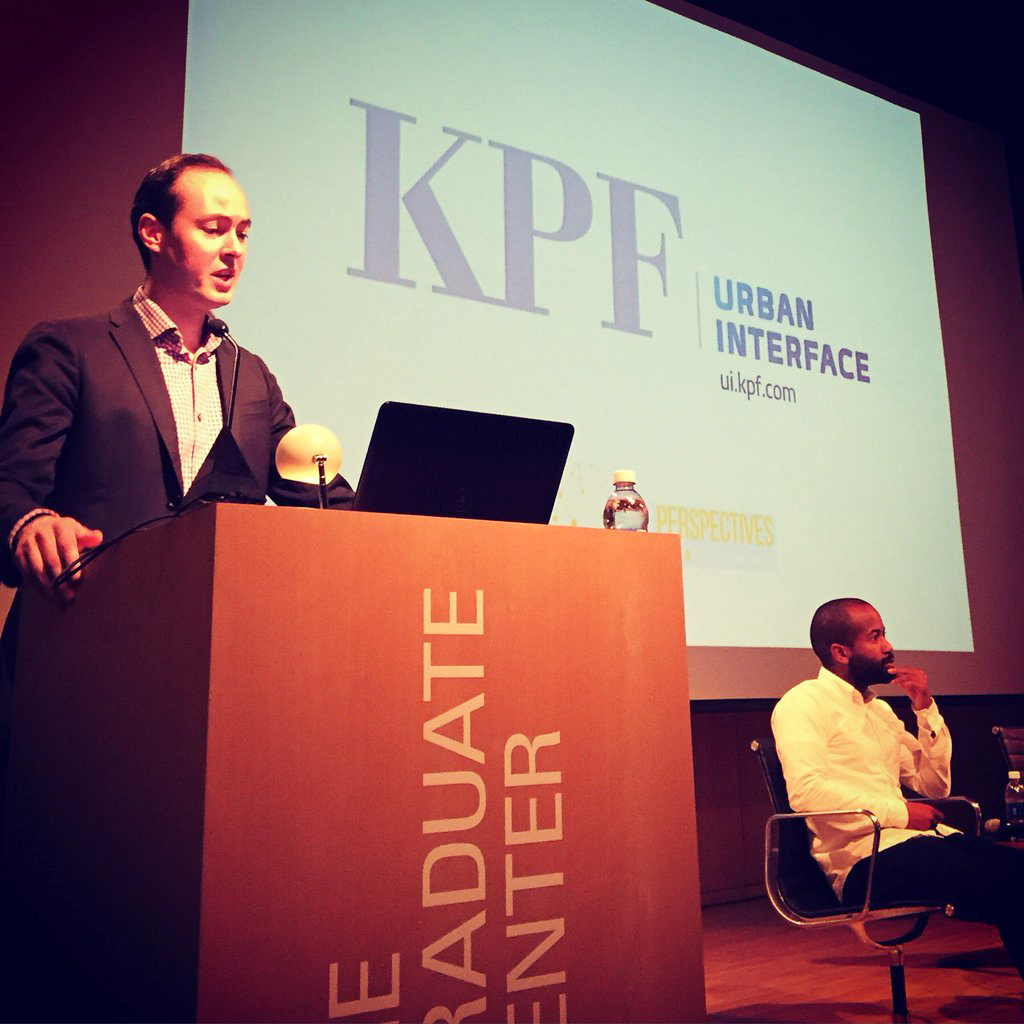
Mr. Wilson introduced the structure and research agenda of the newly launched KPF Urban Interface, specifically focusing on how data-driven spatial analytical tools are revolutionizing building design and city planning...
New York City is widely known as the birthplace of building bulk zoning regulations. This article is part history, part narrative, part architectural commentary on the genealogy of New York City bulk regulations as the exist today.
While the experience of a pedestrian walking through a city is inherently subjective, the physical characteristics that define it are not. The pedestrian's experience exposes the character of a city through his contact, or lack of contact, with the surfaces of buildings. These characteristics can be measured and quantified, informing our understanding of how the built environment shapes the perception of place.
We created an analysis system that quantitatively exposes the different affects urban morphology has on pedestrian experience, beginning with a pedestrian's field of view.
For projects in cities that regulate the profile of new development on the skyline, such as San Francisco and London, KPF UI has developed a tool that allows for the easy design of the skyline from any point in the city.
Today KPFui director Luc Wilson testified at the New York City Council against proposed local law to limit the construction of tall buildings near parks.
KPFui and the Center for Urban Real Estate (CURE) presented The Science of Supertall at the Municipal Art's Society's Summit for New York City last week.
KPF Urban Interface in collaboration with the Computer Science and Engineering have their paper titled, "Urbane: A 3D Framework to Support Data Driven Decision Making in Urban Development," accepted to IEEE Vast 2016, a conference on visual analytic in science and technology.
Floor Area Ratio, the ratio of the total building floor area to the lot area, is a common measurement system used to regulated the density of buildings. Most cities use floor area ratio (FAR) as part of their zoning regulations. Both New York City and London use FAR, but they measure it in different ways, resulting in different representations in density.
Student project from the X-Information Modeling Course in the Graduate School of Architecture, Planning, and Preservation at Columbia University were featured recently on Untapped Cities .


From a combination of historic maps, photographs, and data sets, KPFui modeled the development of Grand Central Terminal and the the surrounding neighborhood starting from the Grand Central Depot in the 1870's to today